|
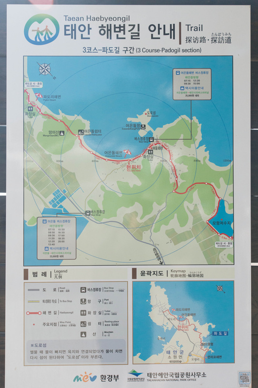
After having a good nights rest from the 22km trail yesterday, I decided to tackle the Pado Gil (파도길), which is a 9km trail starting from the fishing village of Pado and meets up with the Sowon Gil (소원길) at Manripo. With my friend Kevin, we took the 1130 which was headed to Pado. The bus dropped us off at the beginning point of the trail and we were on our way. On route we passed through Pado beach, Eoondul beach as well as a small beach which apparently the locals found gold flakes in the sand. The hike took us through several small hills where we were able to get a panoramic view of the coastline. Once we arrived a Mohang harbour, it was not before long we arrived in Manripo. Not bad for a 3 hour hike on a Sunday afternoon.
0 Comments
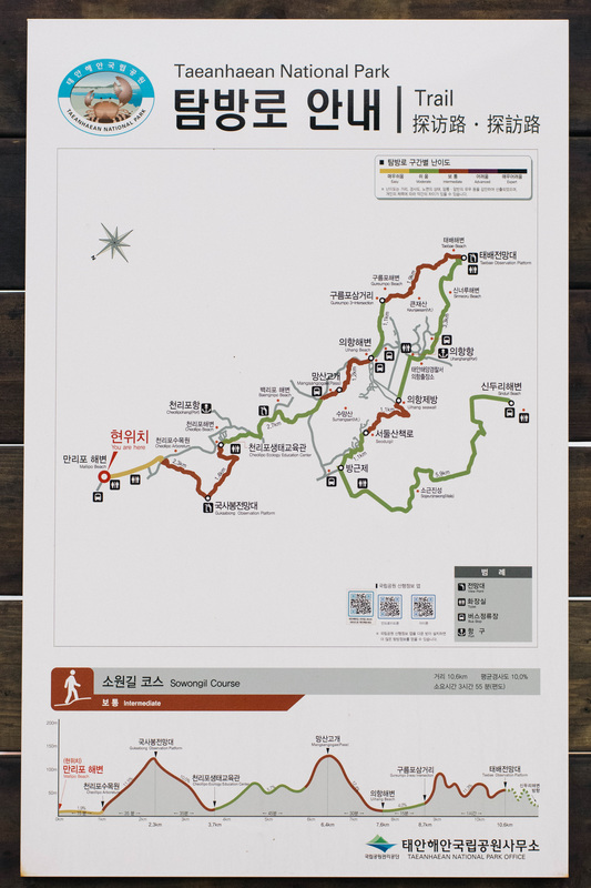
Feeling guilty after eating two instant noodles for dinner the night before, I decided to tackle one of Taean's most famous trails, the Haebyeongil's (The Coastal Trail) Manripo to Shinduri section know as Sowon Gil (소원길), which is approximately 22 kilometers. I got up early the next day and took the 0630 bus which headed to Manripo beach and started from there. The trail overlaps with some of the roads so in order to know if you were heading in the right direction required paying attention to the Haebyeongil logo. Along the way I got to visit the beaches of Manripo, Cheonripo and Baekripo and then after a hike over a mountain, I arrived at Uihang. I hiked my way to the northern tip of the peninsula which was called Taebaek Observation Point. From there I got to see my finish point, Shinduri beach, which was still 12 kilometers away. Interestingly, parts of the trail consists of several causeways and seeing that the tide was low today, I was able to walk along parts of the coast line which would have been inaccessible during high tide. Along the trail there are numerous seawalls which I think were constructed in order to reclaim land for farming. By the time, I arrived at Shinduri, I spent a total of 6 hours walking and hiking 21 kilometers from Manripo. Although it was a long walk/hike, this section represents only 1/5 of the Haebyeongil Trail system in Taean. Would I do this section again? Probably not but the other sections are definitely on my to do list once the weather gets warmer.
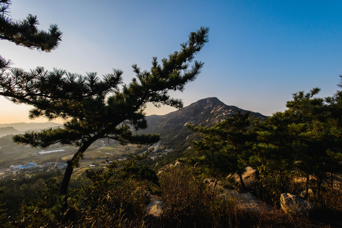
Baekhwasan is a small mountain located right next to downtown Taean. It is one of the few places in town where you can get the panoramic view of the downtown area, and if you arrive in time, you'll also be able to watch the sun slowly set into the yellow sea. It takes roughly around an hour to hike up the mountain and once you reach the top, the view is breathtaking.
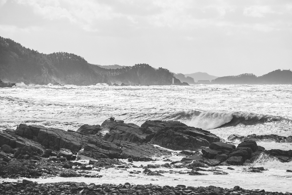
As some of you may not know, I’m currently teaching in Taean, located in the province of Chungcheongnam-do, off the west coast of South Korea. One thing I love about my job is that on Monday mornings I head off to a small elementary school in the fishing village of Uihang (의항/蟻項) which is situated in a small peninsula north of the well known Manripo beach. Right beside the school there is a trail called the “Haebyeongil (해변길)” “Haebyeongil,” which literally means “The path by the sea,” is a trail system which more or less follows the coastline of Taean. The Uihang peninsula is part of the “Sowon” section of the trail, which allows hikers to walk along the shores of the peninsula.
|
Archives
April 2017
Categories
All
Please also visit |


 RSS Feed